
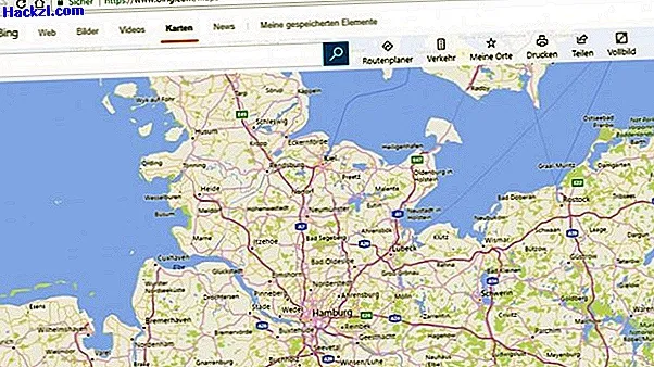
Bing Maps: What is the streetside feature?
If you use Bing Maps, you will quickly come across the so-called streetside function. In this practical tip, we will show you exactly what is behind it.
Bing Maps: What is the streetside feature?
- In 2007 Google added the Streetview function to its "Google Maps" service. For this purpose, cars drove through numerous cities on earth in order to later use the images in Google Maps.
- In 2011 Bing also took over this function for Bing Maps. Switch from normal map mode to streetside mode, you get an insight into the desired environment.
- However, the recordings have not been shown in Germany since 2012. This is because of privacy issues. Streetside shots can still be seen, especially in Canada and the USA.
In the next practical tip, we will show you the 5 best alternatives to Google Earth.